


News
Share
Published 10:23 3 Dec 2024 GMT
Updated 10:23 3 Dec 2024 GMT
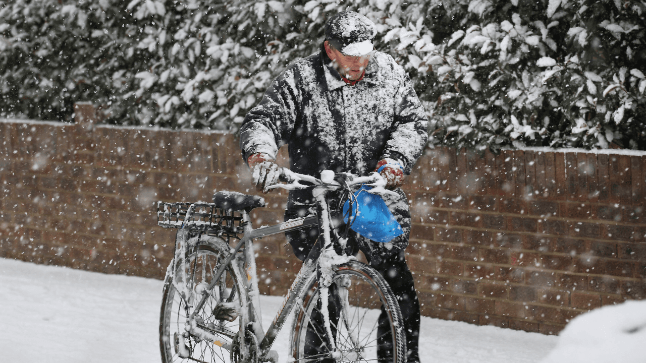
Met Éireann has urged the public to "keep an eye" on its forecast in the coming days as there is "potential for some impactful weather" this weekend.
Between the Irish meteorological service's statements about possible flooding, snow and freezing temperatures and Alan O'Reilly at Carlow Weather noting that there is "a lot of uncertainty" around the forecast for Friday, fears are growing that a storm may be on the horizon.
If named, it would be Storm Darragh - following after the storms Ashley, Bert and Conall.
In Met Éireann's Weather Forecast Podcast for Tuesday morning (3 December), forecaster Matthew Martin said:
Meanwhile, Carlow Weather has said: "A lot of uncertainty around Friday and potential low system that could bring wet and windy weather ahead of the Toy Show.
"Latest models show GFS bringing it in over Ireland but ECMWF keeps it South away from Ireland."
You can read Met Éireann's daily breakdown of its forecast for the weekend below:
It looks set to be a cold and dry start on Friday with some early brightness. However, cloud will thicken from the south during the morning with rain developing in the southwest by lunchtime.
Rain will extend nationwide during the afternoon and evening, turning heavy and persistent with localised flooding possible. Highest temperatures of 6 to 9 degrees in moderate southerly breezes.
It looks set to turn very windy on Friday night with widespread heavy rain bringing the risk of localised flooding.
There is the chance of some wintry falls over the hills in the north of the country also. Lowest temperatures of zero to +5 degrees with strong to gale force northwest winds developing.
It looks set to be cold and windy on Saturday with sunny spells and blustery showers, some wintry. Highest temperatures of 4 to 7 degrees in fresh to strong northwest winds.
Cold and breezy on Saturday night with clear spells and a few showers, mainly in Atlantic coastal regions. Lowest temperatures of 2 to 5 degrees in fresh and gusty northwest winds.
Cold and bright on Sunday with sunshine and well-scattered showers. Highest temperatures of 7 to 10 degrees in moderate northerly winds.
Explore more on these topics:
"For Friday, it looks set to be a cold and largely dry start with some early brightness. However, cloud and rain will extend across into the southwest by lunchtime and then across the country through the afternoon and evening, turning heavy and persistent.
"It then looks set to turn very windy on Friday night and it will be wet too, with outbreaks of rain, possibly turning to sleet or slow across the midlands and north.
"Those strong winds will be the main feature and keep an eye on the forecast at Met Eireann in the coming days for the potential for some impactful weather Friday night and into Saturday morning.
"So, Saturday will be a cold and windy day as that deepening low-pressure system exits into Britain.
"It will stay cold on Sunday as well with sunshine and showers."
A lot of uncertainty around Friday and potential low system that could bring wet and windy weather ahead of the Toy Show, latest models show GFS bringing it in over Ireland but ECMWF keeps it South away from Ireland. pic.twitter.com/ovkIJTUvnS
— Carlow Weather (@CarlowWeather) December 3, 2024

News

News

News

News
Alcohol guidelines in Ireland may be changing
This comes following a new report from the Health Information and Quality Authority. Alcohol guidelines in Ireland may need updating for the first time in over 10 years, that is according to the latest report from the Health Information and Quality Authority (HIQA). HIQA has said a major review of Irish drinking guidelines could be […]
News
5 days ago
Russian frigate ‘fires warning shots’ at British yacht in English channel
Latest reports say the boat was trying to avoid a collision A Russian frigate has allegedly fired warning shots at a British yacht in the English channel, reports claim. This afternoon, a report from Sky News’ Sam Coates claimed that the Russian frigate ‘Grigorovich’ fired warning shots at the British boat in the English channel. […]
News
6 days ago

News
Full list of social media apps UK expected to restrict for under 16s as Ireland weighs up similar ban
News


