
Share
18th October 2021
02:01pm BST

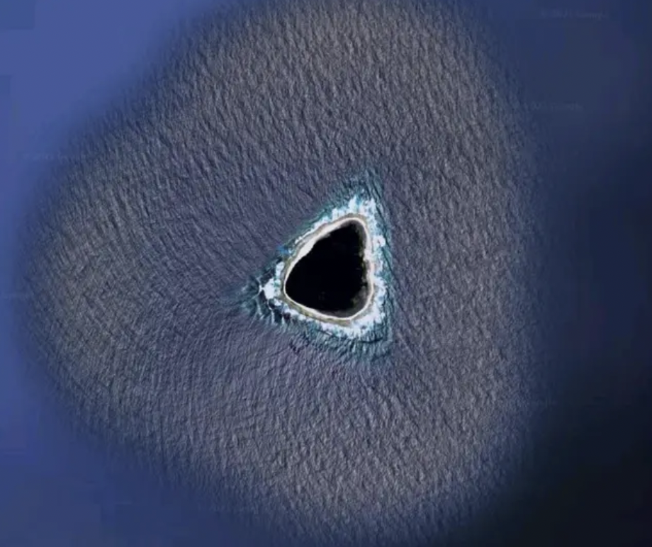
 The exact location of the island is currently unknown, which obviously adds to the mystery of the situation.
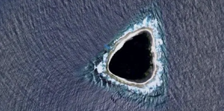
With a pitch-black centre, the mass appears to have waves crashing against its circumference. The interest is certainly in the blackened lagoon, leading people to question whether it's a cover-up of sorts.
Google Maps occasionally blacks out areas it's not permitted to show, hence why crazy theories are starting to circulate. But it could also be human error or potentially even a technical issue.
Users on Reddit, the home of many conspiracy theories, are eating it up.
One user said: "My first thought was that it's censored. It wouldn't make sense for a natural formation to be black like that in such a shallow, small atoll/island."
 And so the plot thickens.
Other users are throwing around the hollow earth theory, a missile silo, and even an inter-dimensional portal.
But not everyone is buying into the craze.
"OK so the real answer is the blue colour around the island is a painted-in color so the oceans look uniform in the maps," writes one party-pooper.
"Islands are added by erasing some of that blue to let the satellite image show through.
"Sometimes they do a sloppy job. So what you are seeing moving inward is: artificial ocean colour, real ocean with waves, beach, island.
"As for the shape, idk man islands come in all shapes and sizes I don't discriminate".
Anyone for a trip to an undisclosed island?
And so the plot thickens.
Other users are throwing around the hollow earth theory, a missile silo, and even an inter-dimensional portal.
But not everyone is buying into the craze.
"OK so the real answer is the blue colour around the island is a painted-in color so the oceans look uniform in the maps," writes one party-pooper.
"Islands are added by erasing some of that blue to let the satellite image show through.
"Sometimes they do a sloppy job. So what you are seeing moving inward is: artificial ocean colour, real ocean with waves, beach, island.
"As for the shape, idk man islands come in all shapes and sizes I don't discriminate".
Anyone for a trip to an undisclosed island?Explore more on these topics: