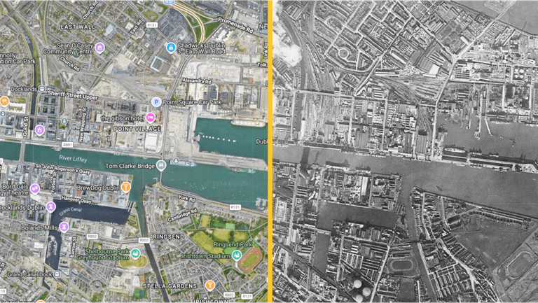
We could spend hours looking at this interactive ’60s ‘Google’ map of Dublin
Everyone in the JOE office is obsessed with this. Did you know there is a website that lets you compare what Dublin looked like in the 1960s with how it looks now? This site is called SpaceFromSpace and utilises “historic Cold War era declassified satellite photographs, high-resolution spaceport imagery, and aerial images”. This is so […]
6 months ago