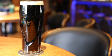
It was a chilly night.
A Status Yellow snow and ice warning for the whole of Ireland remains in place on Tuesday morning until midday.
Both Met Éireann and AA Roadwatch have warned motorists there may be hazardous conditions in some areas due to ice and snow.
There’s also still a possibility of more snow showers today in the southwest, west and north, while a weather advisory for cold and wintry weather across Ireland remains in place until 3pm on Tuesday.
Met Éireann has said Tuesday will be a mix of sunshine and scattered wintry showers. These showers will be frequent over the western half of the country with the possibility of hail and thunder in these areas.
Scattered showers will continue on Tuesday night and while these will bring mainly rain, there will be some wintry showers in parts of the north and west.
Lowest temperatures will be between 0 and 2 degrees early in the night with some frost patches but temperatures will rise towards 5 degrees at dawn.
From Wednesday, the weather is set to get milder with highest temperatures of 7 to 10 degrees, although it will be wet and drizzly in many areas.
Continuing this trend, Thursday will be even warmer with temperatures of 10 to 12 degrees
LISTEN: You Must Be Jokin’ with Aideen McQueen – Faith healers, Coolock craic and Gigging as Gaeilge