Be careful out there.
10 counties in Ireland have now been flagged for a Status Yellow thunderstorm warning, following the issuing of an initial warning on Tuesday morning (19 July).
Originally, the warning concerned Carlow, Kilkenny, Wexford, Wicklow, Cork, Tipperary and Waterford. As of Tuesday afternoon, you can add Cavan, Donegal and Leitrim to the mix.
The rather succinct line from Met Éireann is to expect “thunderstorm activity today with localised downpours”, with the warning in place until 9pm on Tuesday evening.
It follows on from a separate high temperature warning for all of Leinster, which comes in line with the expectation of average daytime temperatures of 25 to 28 degrees across the province. This warning is valid until 7pm on Tuesday.
Met Éireann has advised that the following impacts are possible:
- Heat stress, especially for the more vulnerable of the population
- High Solar UV index
- Risk of water related incidents
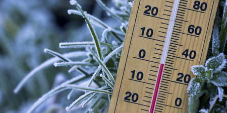
However, in other parts of the country it will be cooler and fresher elsewhere with highs of 16 to 22 degrees. On top of all of that, the Road Safety Authority has released a warning of its own, urging motorists to be aware of the hazards associated with driving in wet conditions.
Monday, as you will no doubt have experienced, was significantly sweltering, leading to the hottest temperature in Ireland in the 21st century of 33.0 degrees, the joint second-highest temperature ever recorded in the country, and the hottest Dublin has ever been.
🌡️ Phoenix Park today 🌡️
▶️Recorded its highest ever temperature – 33.0°C
▶️12.8°C above its long-term average
▶️The 2nd highest temp on record for IrelandRead all about the temperature records broken in July & Met Éireann's new Climate Services Division https://t.co/lTUJldCSR5 pic.twitter.com/fxASZf8kkD
— Met Éireann (@MetEireann) July 18, 2022
LISTEN: You Must Be Jokin’ with Aideen McQueen – Faith healers, Coolock craic and Gigging as Gaeilge