


News
Share
Published 10:56 13 Mar 2024 GMT
Updated 10:56 13 Mar 2024 GMT
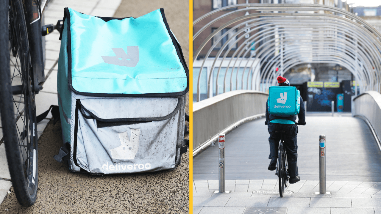
A map of the most unsafe areas in Dublin that was reportedly created by Deliveroo riders is being recirculated online.
According to The Irish Times, the 'Áreas de Risco' map was first created in 2021 and categorises 22 Dublin regions into low, medium and high danger areas.
The paper states that the information was compiled as Deliveroo riders reported an increase of assaults and thefts against them in recent years.
"Risk areas described by couriers drivers, based on reported incidents and newspaper reports," a description for the map reads.
Making the list but categorised as lower risk are the Dublin areas:
Categorised as higher risk then is:
The areas deemed the most high risk, meanwhile, are:
You can see the full list and read about the reasons for the selections on Google Maps here.
Main images via Leon Farrell / RollingNews.ie
Read more:


News

News

News

News
Belfast attempts a Guinness World Record attempt for World’s Biggest Céilí this weekend
The dancing record attempt will kick off this Sunday As part of the Belfast TradFest from 1PM to 5PM at the historic Titanic Slipways on Belfast’s Maritime Mile., thousands of people are expected to take part in a record breaking céilí. This year’s event expects to welcome more than 10,000 participants, marking themselves as one […]
News
1 day ago
Irish sailor to complete one of the world’s toughest endurance races
Almost a year at sea and 40,000 nautical miles around the world. Dalkey native Brian Uniacke, is professional First Mate for Team Tongyeong of the Clipper Race, one of the toughest endurance challenges on the planet. The Dublin man is close to finishing his first full lap of the globe. First sailing transatlantic with his […]
News
1 day ago

News
First ever Irish-English road signs installed in Northern Ireland
News


