









News

Share
Published 11:15 29 Aug 2026 BST
Updated 11:26 29 Aug 2026 BST
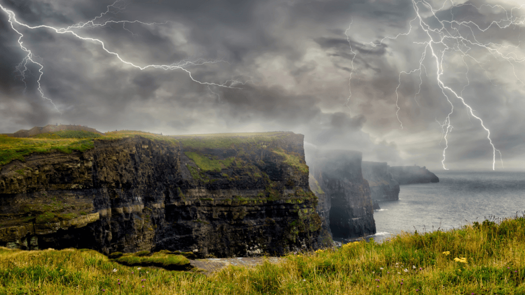
Met Éireann has issued a weather advisory for Ireland this weekend, over 'torrential downpours' and possible thunderstorms and lightning.
The alert is set to take effect from 3am on Sunday (30 August) to the same time on Monday. It warns that "heavy showers or longer spells of rain" will become widespread from the southwest on Saturday night and during Sunday.
"Some localised torrential downpours will occur with the potential for thunderstorms, lightning and associated gusty winds," the weather advisory adds.
"While they will be hit and miss, some localised flooding may occur."
The Met Éireann update comes as the three-day music festival Electric Picnic is taking place in Stradbally, Laois.
Weather conditions have already been far from ideal for camping and outdoor gigs, as evident by reports from attendees posted on social media.
You can watch some of these videos for yourself below:
Given the new advisory, it doesn't sound like the rest of the weekend will be much better for those camping at Electric Picnic.
You can read Met Éireann's current forecast for the rest of the weekend below:
It will be a wet start this afternoon for many with rain, drizzle and some mist. The rain will be very heavy and persistent at times with the chance of localised flooding.
Drier conditions in the west will gradually extend eastwards through the day, though the rain may linger in parts of Leinster and Ulster until evening.
Following the clearance, there will be some sunny spells, but also some scattered showers, possibly heavy or thundery.
Highest temperatures of 15 to 20 degrees, with light to moderate north to northwest winds backing westerly.
It will start mostly dry tonight with a mix of cloud and clear spells and just isolated showers.
However, as the night progresses, scattered showers or more persistent spells of rain will spread from the southwest, and some of these will be very heavy or thundery.
Some mist and fog patches too. Lowest temperatures of 10 to 15 degrees, with mostly light southerly winds, freshening in the southwest towards morning.
There will be widespread showers or more persistent spells of rain tomorrow. These will be very heavy at times with thunderstorms and localised flooding possible.
Some intense downpours will fall in a short space of time in parts, with some sunny spells also.
Highest temperatures of 16 to 21 degrees, with light to moderate, fresh at times, variable winds.
The night will become breezy with a mix of clear spells and scattered showers.
Lowest temperatures of 10 to 14 degrees, with moderate to fresh, west to northwest winds.
Explore more on these topics:

News

News

News

News
Homes evacuated after ‘pipe bomb’ explosion in Belfast
Police have asked the public to avoid the area A number of homes have been evacuated after an explosion at a property in north Belfast. The incident is reported to have happened in the Stanhope Street area of the city. It is believed that a pipe bomb exploded at a property in the neighbourhood. The […]
News
12h
Man arrested over Waterford arson recently released from prison
Two people, a man and a woman, who were arrested yesterday (Thursday) after an arson attack in Waterford remain in custody this morning. They are considered low-level criminals. The man, aged in his twenties, was recently released from a prison sentence for burglary. Gardai are investigating whether the female suspect used her own car in […]
News
13h

News
Mortgage protection insurance law ends cancer diagnosis barrier
News