Certainly not t-shirt weather…
It’s not been the worst summer in memory, rain has fallen but we’ve had a few good weeks where temperatures have reached the mid to high 20s, so we can’t complain too much.
Remember these days…
https://www.instagram.com/p/BVdHNw_ljUI/
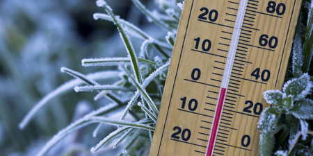
But now we’re getting the first indication that summer is soon to be at an end as the coolest maximum daytime temperature in Dublin for two months was recorded on Tuesday.
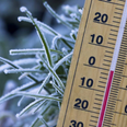
Met Eireann reported that temperatures reached just 14.9 degrees at its station at Dublin Airport on Tuesday, the lowest maximum temperature for two months at the station.
Temperatures on Wednesday are expected to be higher with top temperatures ranging from 15 to 18 degrees during the day.
The afternoon will bring with it some showers, some heavy and some thundery. It will be a similar day on Thursday with temperatures dropping once again overnight.
While initially, the weekend looked set to be relatively dry, that has changed somewhat. Saturday morning will start off dry, but cloud and rain will increase from the Atlantic in the afternoon and evening.
Saturday night will be wet and windy as will Sunday morning. This should clear eastwards in the afternoon with winds easing allowing for temperatures of 17 to 20 degrees.
LISTEN: You Must Be Jokin’ with Aideen McQueen – Faith healers, Coolock craic and Gigging as Gaeilge