


News
Share
Published 14:33 21 May 2024 BST
Updated 14:33 21 May 2024 BST
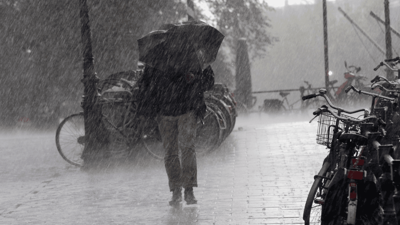
Met Éireann have issued a Status Orange thunderstorm warning for five Irish counties and a Status Yellow for all other counties apart from Kerry for Tuesday, May 21.
The national forecast has issued the Status Orange warning for Carlow, Kilkenny, Wexford, Tipperary and Waterford.
The warning is in place from 1.44pm to 8pm today, and includes the description: "Slow moving thunderstorms with very heavy downpours and hail."
Flash flooding, very difficult traveling conditions with poor visibility and potential damage to power lines are all listed as possible impacts.
A Status Yellow thunderstorm warning is also in place from 1.15pm to 10pm for Leinster, Cavan, Donegal, Monaghan, Clare, Cork, Limerick, Tipperary, Waterford and Connacht.
Heavy downpours and thunderstorms are expected, with potential impacts being spot flooding, difficult traveling conditions and poor visibility.
In their national forecast for the week ahead Met Éireann say: "Turning mostly dry for the end of the working week with temperatures returning closer to average. Becoming wetter on Saturday.
This evening will see a cloudy night with heavy showers and isolated thunderstorms continuing at first.
The showers will ease and become less frequent overnight, with lowest temperatures of 8 to 11 degrees in light northwesterly winds.
Tomorrow, Wednesday will be cloudy with well scattered showers, though showers will be lighter than in previous days.
Patchy light rain and drizzle will push into the northeast tomorrow evening, with highest temperatures of 13 to 17 degrees in moderate to fresh northwest winds.
Read more:
Explore more on these topics:
Status Orange - Thunderstorm warning for Carlow, Kilkenny, Wexford, Tipperary, Waterford
— Met Éireann (@MetEireann) May 21, 2024
Met Éireann Weather Warning
Slow moving thunderstorms with very heavy downpours and hail.
Valid: 13:44 to 20:00 Tuesday 21/05/2024 pic.twitter.com/etb5dDJ5JW

News

News

News

News
Irish Rail lodges plans for new Cork train station at Dunkettle
It’s the second application in weeks Irish Rail has lodged a planning application for a new train station at Dunkettle in Co Cork, the second such application in the county in a matter of weeks as work ramps up on a major overhaul of commuter services in the region. The Dunkettle bid follows a recent […]
News
1 day ago
Homeless figures rise again as a record number of children go without a home
The new figures are out The latest homeless figures from the Department of Housing show 17,482 people were living in emergency accommodation across Ireland in June, a slight rise of 35 on May – and a record number of them were children. The department’s data shows 11,862 adults (down from 11,864 in May) and 5,620 […]
News
2 days ago

News
News


