








Crime

Share
Published 12:03 23 Aug 2026 BST
Updated 12:05 23 Aug 2026 BST

Ireland weather is being lined up for a wetter and stormier run into autumn and early winter, with forecasters warning that the El Niño event now developing in the Pacific is shaping up to be the strongest they have ever modelled.
Met Éireann says north-western Europe, Ireland included, is likely to feel it in the coming months, as the Irish Mirror reported on Sunday morning.
El Niño describes unusually warm surface waters in the eastern tropical Pacific, first noticed centuries ago when Peruvian fishermen saw their stocks disrupted.
Its opposite phase, when cold, nutrient-rich water rises, is La Niña. According to Met Éireann, the switch between the two happens every two to seven years and shifts rainfall and average temperatures worldwide.
The forecaster says this phase raises the risk of drought in the tropics, southern Africa and north-east Australia, while pushing wetter and stormier conditions towards north-western Europe.
A Met Éireann expert said sea surface temperatures are well above average, loading the atmosphere with extra moisture for any low-pressure systems tracking our way.
Professor Adam Scaife, head of long range forecasting at the UK Met Office, did not undersell it.
“We should be clear that this is an unprecedented event. I have never seen an El Nino signal this intense in our forecasts," said Scaife.
Closer to home, the immediate picture is already damp: the Irish Independent reports the current rainy spell will stretch into next weekend with unsettled days ahead.
That follows an unsettled August and a damp bank holiday, after Met Éireann’s bank holiday forecast fell short of a summer send-off.
Explore more on these topics:

Crime
Crime

Crime
Crime
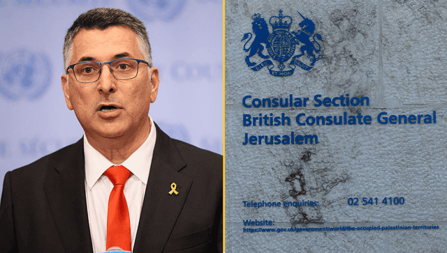
Israel shuts British consulate in Jerusalem in retaliation for sanctions
Israel said it would shut the consulate in retaliation for sanctions, adding ‘we did not want it to come to this’ Israel says that most UK diplomats will leave the British consulate in occupied East Jerusalem, while the UK has insisted the building “will not be closing”, but will operate as a “UK Mission”. Gideon […]
Crime
8h
Gardaí investigate after Limerick house destroyed during ‘student party’
They were called to a “large public gathering” in College Court in the early hours of Wednesday morning. Gardaí are investigating after a house in Castletroy, Limerick, was extensively damaged during a large gathering, believed to have been a student party, in the early hours of Wednesday morning. Gardaí asking for public assistance “as part […]
Crime
8h

Crime
20 things your penis could be telling you about your heart
Crime